Update on High-Resolution Land Use Management Geodatabase

The #LAMASUS_EU project is developing a land use management geodatabase, to be used by researchers, and landowners and policy makers on optimal land use management strategies 🖼 .
The project is building a land use data set from 2000 to 2020, enhanced with land use management information. A first report towards building this data set, which contains the technical specifications of the high-resolution LUM geodatabase, was published last April.
The report summarizes the requirements and assumptions for the LUM geodatabase and a review of EU policies to ensure that the LUM geodatabase is as policy relevant as possible. Feedback on the LUM geodatabase was also gathered from the LAMASUS Policy Advisory Board and during the first LAMASUS Stakeholder Workshop in April 2023. In the report, we set out land use management classes for modelling and policy support, and we identified input layers from remote sensing and statistical data that will be used to produce the LUM geodatabase.
The LUM geodatabase is specified in two parts: (i) the annual time series based on CORINE data that will be produced from 1990 to 2020 that preserves the original 100m resolution, projection and grid, which can then be aggregated to higher resolutions (i.e., 1 km shares and NUTS administrative zones); and (ii) the LUM classes that will be used together with the CORINE time series and many other input data sets to create a set of rules that will allow the LUM classes to be assigned to the land use database. A set of LUM layers will be created initially for 2000, 2010 and 2020 at the CORINE resolution and aggregated to higher resolutions (i.e., 1 km shares and NUTS administrative zones). Depending on the data availability, an annual LUM time series between 2000 and 2020 will be derived if possible. LUM classes are presented in D2.3 for forest, cropland, grassland and urban areas while the remaining classes are specified as in the CORINE database. The forest classes have been developed by considering existing classifications and the need to better represent forest structure and intensity while refining the multifunctional forest class into three further classes. The cropland classes reflect the need to differentiate between irrigated and rainfed as well as intensive and extensive cultivation. Organic farming is also reflected in the nomenclature. Grassland classes include extensive and intensive management, with and without livestock as well as agroforestry with livestock. Finally, the urban classes reflect different intensities of urbanization in terms of the density of buildings and the infrastructure.
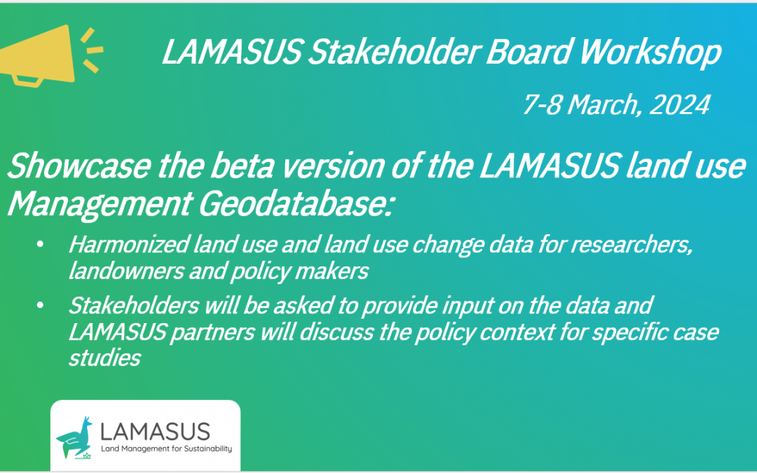
In the past year, LAMASUS has been working on incorporating the feedback from the first stakeholder workshop, and we will present the progress on the Land Use Management Geodatabase during the second stakeholder workshop on 7-8 March 2024!